One sea, varied shorelines
The Baltic shoreline includes sandy beaches, rocky margins, sheltered bays, river mouths, lagoons, wetlands and low coastal meadows. Local geology, water movement and exposure influence what appears at a particular site. Do not expect one landscape type to represent the whole region.
Parts of Finland and Sweden are known for extensive archipelagos and rocky shores. Estonia includes islands and varied mainland coast. Latvia and Lithuania have broad sandy sections as well as other shore forms. Denmark, Germany and Poland bring different peninsula, island, lagoon and port settings. These are broad geographic comparisons, not a substitute for local maps.
Dunes and moving sand
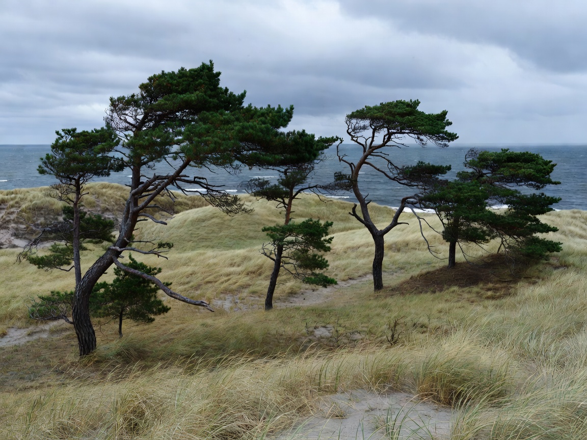
Dunes are shaped by wind, sand supply and vegetation. Marram grass and other plants help bind some dune systems; trampling can damage that cover and expose sand to movement. A dune ridge can be unstable even when it looks firm. Use marked paths and obey any local restrictions.
Do not climb steep or visibly eroding dune faces. Keep away from edges that are collapsing or undercut. Where access is unclear, choose a signed route rather than making a new track. Local authorities and site managers determine current access rules; this guide does not set them.
Pine forest, meadow and wet ground
Pine woodland often meets sandy coastal ground, providing wind shelter and a distinct transition from open shore. Coastal meadows and wetlands hold different plant and animal communities. Soft ground can be waterlogged or seasonally sensitive, so footwear and route choice matter.
Stay on established paths where present. Avoid disturbing nesting birds and wildlife, and keep dogs under control in line with local requirements. Do not gather plants, driftwood or other natural material where rules prohibit it. Check site notices before entering an area managed for conservation.
Rocky shores and exposed edges
Rocky coastlines can be slippery, uneven and exposed to changing water conditions. Wear footwear suited to the surface and do not assume that a low tide or calm-looking sea makes every route safe. Keep a conservative distance from wave-washed edges and avoid unstable cliffs, bluffs and sea-defence structures.
Wind can make a short walk feel demanding, especially on open headlands. Check the forecast from a current local source and choose a route that can be shortened. Do not rely on this general guide for live weather, tide or hazard information.
Walking routes and low-impact visits
Some coastal paths run through villages, public land or managed natural areas. Others may include private sections, temporary closures or difficult surfaces. Confirm current route conditions and access rights locally. Carry a map or offline route information when connectivity may be limited.
- Keep to signed paths where provided.
- Pack out rubbish and secure lightweight items in wind.
- Leave plants, shells and habitat features in place.
- Give wildlife and other path users space.
- Turn back if conditions or surfaces become uncertain.
Good for
These notes are useful for walkers comparing coast types, photographers planning a landscape study and visitors who want to reduce their effect on fragile shore environments.
What to know
Protected status, seasonal closures and route rules differ by site. Verify them with the relevant local authority or site manager before travelling. Never treat a scenic route as evidence that the terrain is safe or open to unrestricted access.
Pair landscape observation with built-shore notes and the practical trip-planning guide.